Geopost
GEOPOST – THE ENERGY INSIGHTS PLATFORM
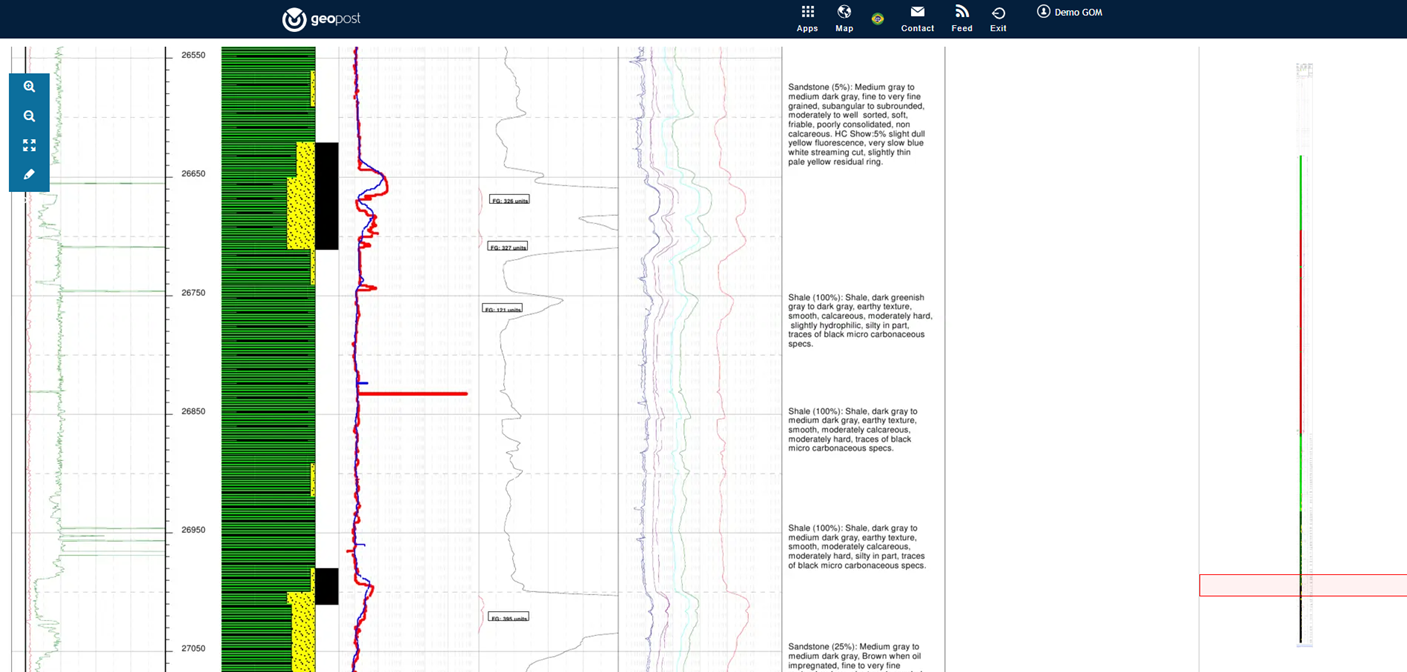
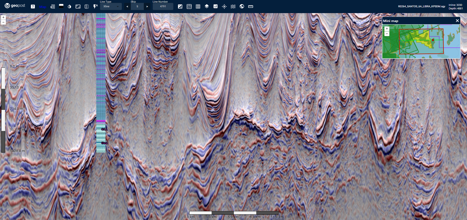
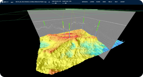
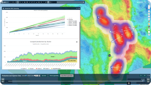
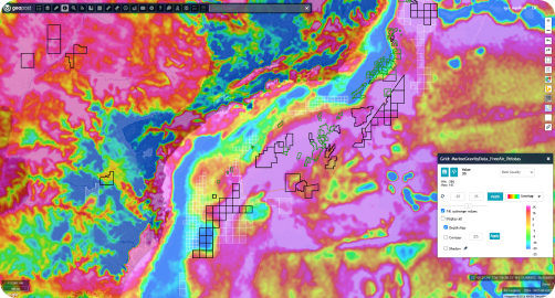
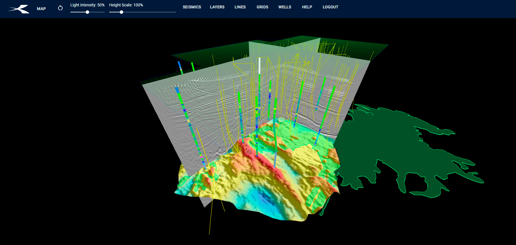
Geopost is a unique platform that connects real-time market information and subsurface technical data. Integrating a GIS base map with subsurface data preview capabilities, Geopost offers a dynamic environment in which you can interact with seismic, wells, interpretation, production and analytical dashboards.
All in a fluid and easy-to-use, fully web-based environment.
MARKETWATCH
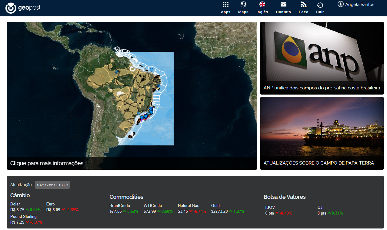
Gain a fresh, new perspective towards the E&P landscape with this market intelligence tool. Access up-to-date geographical information reflecting the latest industry news. Keep track of farm ins/farm outs, new wells, environmental licenses, production fields, blocks and leases, drilling rigs, seismic acquisition vessels, and much more. Available for the regions of Brazil and the US Gulf of Mexico.
- MANAGE
- USE
- COLLABORATE
- PREVIEW
All the data you need in a single portal:
- Enable easy access to the platform from anywhere
- Provide key information related to E&P market
- Host and preview technical data (Seismic, Wells, Interpretation, Documents)
- Provide Basic Interpretation tools, to enable the use of the technical data
- Establish a collaborative environment between companies, government and research groups
DATA MANAGEMENT SERVICES
Single Platform
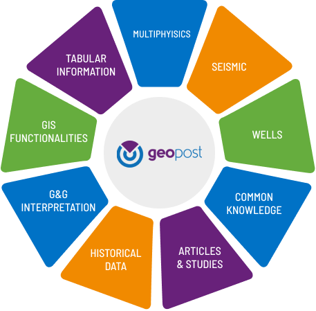
Geopost’s Data Management package offers a comprehensive suite of consultancy services, and a robust web-based solution designed to support operators and service companies in managing their data libraries according to industry-standard practices.
Our services include organization, standardization, storage, preview, retrieval, and correlation of critical data, ensuring thorough management across-the-board.
Single Platform

Single Platform

Tabular
Information
Tabular Information

Potential
Methods Data
Potential Methods Data

Seismic
Seismic

Wells
Wells

Common
Knowledge
Common Knowledge

Articles &
Studies
Articles & Studies

Historical Data
Historical Data

G&G
Interpretation
G&G Interpretation

GIS
Functionalities
GIS Functionalities
GEOSCIENCE ONLINE (G.O.)
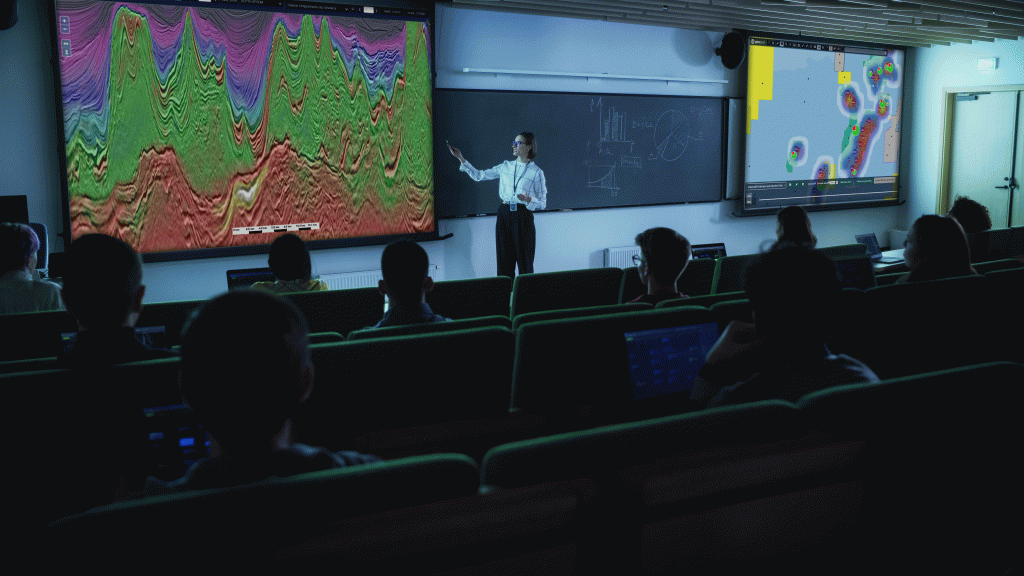
Kalatyst explores different types of partnerships with academic institutions, from managing research group’s libraries, to providing access to Geopost as an educational tool to be used inside a classroom. Through this initiative, we reaffirm our commitment to the academic environment and to bridge the gap between academia and industry.

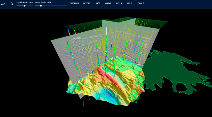
VIRTUAL DATA ROOM

From a small local onshore dataset to global seismic libraries. Use Geopost to showcase your assets, either to sell data, assets or seek new partnerships. Make sure your data reaches their target in the most efficient way possible, maximizing your opportunities.

